Conference Schedule and Breakdown
Day 1: Thursday, December 10th (9:00 am – 1:20 pm PST)
Our Geo4Dev Symposium on Dec 10th will feature a series of presentations, including a keynote talk by Christopher D. Elvidge, Director of the Earth Observation Group at Colorado School of Mines. Elvidge pioneered the development of global nighttime lights and led the production of a 21-year time series of nighttime lights (1992-2013) using data from the U.S. Air Force’s Defense Meteorological Satellite Program (DMSP). Check back for additional updates to the agenda below.
AGENDA:
- 9:15 am PST - Session 1: New data and initiatives
- Ran Goldblatt (New Light Technologies)
- Geospatial Analysis for Development Initiative [video]
- Gabe Levin (New Light Technologies)
- Geospatial Analysis for Development Website (Geo4.dev) [video]
- Berber Kramer (Development Engineering, International Food Policy Research Institute)
- Publishing in Development Engineering [slides] [video]
- Joshua Blumenstock (Center for Effective Global Action)
- Using Mobile Phone and Satellite Data to Target Emergency COVID-19 Aid
- 10:00 am PST - Session 2: Nighttime lights: applications in development research and operations (Part I)
- Douglas Glandon (International Initiative for Impact Evaluation (3ie))
- State of play for big data (including nighttime light) in impact evaluations [video]
- Alice Duhaut (Development Impact Evaluation (DIME) group, World Bank)
- Granular Satellite Imagery to Evaluate Transport Corridors [video]
- Theophile Bougna (Development Impact Evaluation (DIME) group, World Bank)
- Geospatial Impact Evaluation of Highways: Evidence from Iraq and Morocco [video]
- Gordon Hanson (Harvard Kennedy School)
- Using Satellite Imagery to Predict Local-Level Changes in Income and Population [video]
- 11:10 am PST - Coffee Break
- 11:20 am PST - Keynote address: Chris Elvidge (Colorado School of Mines)
- Exploration the annual cycling patterns of nighttime lights in India: preliminary results [slides] [video]
- 12:00 pm PST - Session 3: Nighttime lights: applications in development research and operations (Part II)
- Mark Roberts (World Bank)
- When the lights go out: using nighttime lights to analyze the economic impacts of COVID-19 in the Middle East and North Africa [video]
- Marshall Burke (Stanford University)
- Inferring wealth from daytime and nighttime imagery
- Muneeza M. Alam (World Bank)
- Wider economic benefits of transport corridors: Evidence from international development organizations [slides]
- Aiga Stokenberga (World Bank)
- Nighttime lights and strategic transport in BBIN countries [video]
- 1:10 pm PST - Closing remarks
Day 2: Friday, December 11th (9:00 am – 2:45 pm PST)
Remotely sensed data (e.g. satellite data) is rapidly becoming a critical component in geo-spatial analysis, particularly in international development when other sources of data are scarce. But the perception is that these data are too complex or costly (in terms of time and money) for general analysts to use.
Our Nighttime Lights workshop on Dec 11th will break down that perception using open source tools like Python and Google Earth Engine. Through a series of hands-on modules, experts will train researchers and policymakers–especially those based in low- and middle-income countries (LMICs)–in the application of Nighttime Lights data to important policy questions. We’ll cover Nighttime Lights data access, as well as interpretation, processing, visualization, and statistical analysis (including time series analysis).
Whether you are an analyst just starting out with Python, or a seasoned data scientist looking to sharpen your remote sensing skills, you may find this workshop helpful. After honing your skills, not even the sky will be the limit! Familiarity with Python or programming is preferred (beginner is OK) to get the most from the session, but we’ll also point to resources for training at all levels.
Meet the Presenters
Chris Elvidge
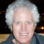
Senior Research Associate Director of Earth Observation Group, Colorado School of Mines
Theophile Bougna
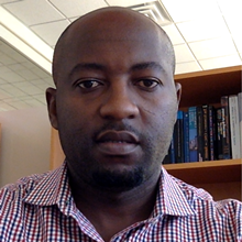
Economist, Development Impact Evaluation (DIME) Group, World Bank
Gordon Hanson
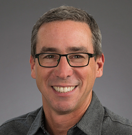
Peter Wertheim Professor in Urban Policy, Harvard Kennedy School
Mark Roberts
Senior Urban Economist, World Bank
Muneeza M. Alam
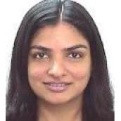
World Bank
Marshall Burke
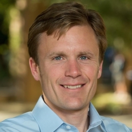
Associate Professor, Dept. of Earth System Science Deputy Director, Center on Food Security and the Environment, Stanford University
Ran Goldblatt
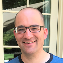
Chief Scientist and Senior Consultant, New Light Technologies
Joshua Blumenstock

Associate Professor, School of Information; Co-Director, Center for Effective Global Action, University of California, Berkeley
Alice Dehaut

Economist
Kim Baugh
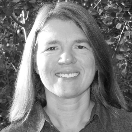
Earth Observations Group, University of Colorado, Boulder
Douglas Glandon

Senior Evaluation Specialist, 3IE
Gabe Levin
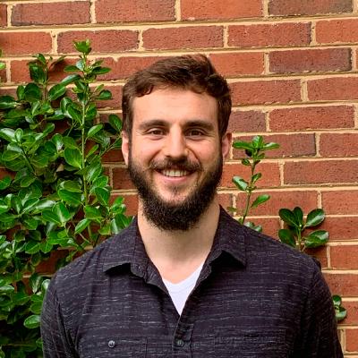
Geospaital Consultant and Project Manager, New Light Technologies
Berber Kramer

Development Engineering and International Food Policy Research Institute
Aiga Stokenberga

World Bank